
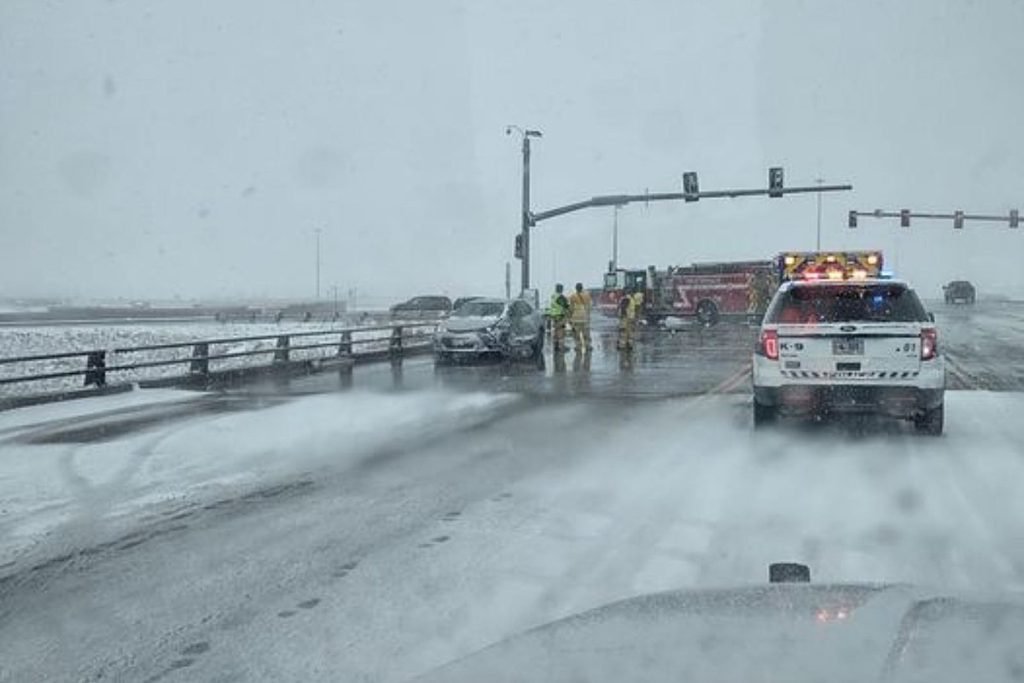
Moderate snow could affect parts of southeastern Wyoming after midnight through early Saturday morning. Cheyenne National Weather Service Say.
“Don’t be surprised if you wake up with light build-up or slippery conditions,” says NWS.
The forecast for the weekend calls for cool, windy weather on Saturday along with rain and snow showers east of Interstate 25.
For much of southeastern Wyoming, the mid-30s to early 40s is expected to be the peak.
The good news is that the cold spell will be short-lived as temperatures are expected to return to normal on Sunday, according to the NWS.
weather.gov/cys
Check out the weather forecast for the weekend! Snow showers are expected to continue for the next few hours, with a lull tonight. However, parts of southeastern Wyoming may see moderate snowfall again from midnight through early Saturday morning. Otherwise, Saturday will be cool and windy with showers and snow showers. A mix of snow and rain is possible east of Interstate 25. The good news is that this cold snap won’t last long! Clouds will roll in Saturday night, with temperatures expected to return to normal for this time of year on Sunday. Light winds are likely to remain along and west of Interstate 25, but an otherwise very pleasant day is expected.
Look: The most extreme temperatures in the history of any state
Keep reading to find individual state records in alphabetical order.


