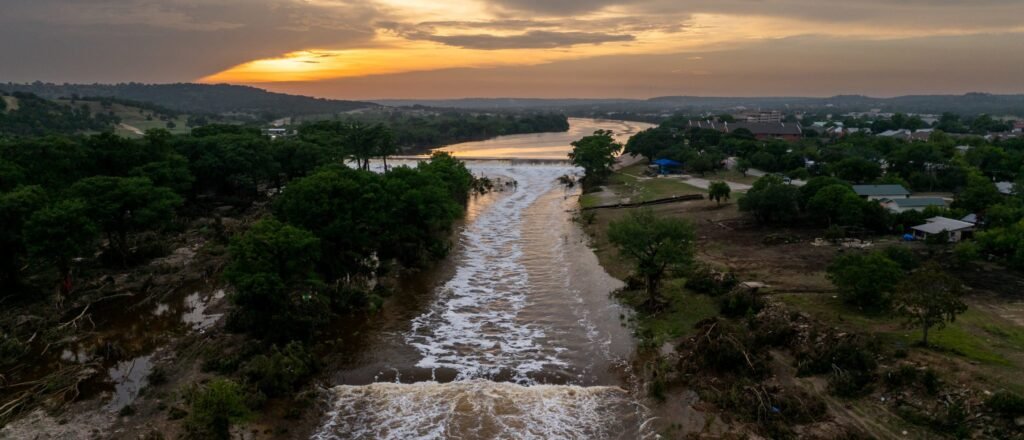
Severe Thunderstorm and Flood Risks in the Midwest
This weekend, a significant thunderstorm is anticipated in the Midwest, with the southern regions bracing for potential flash floods.
On Friday night, the storm hit areas of Iowa, northern Missouri, and parts of Illinois, leading to property damage and at least one reported tornado. The National Weather Service (NWS) indicated conditions might worsen, with around 19 million people from eastern Michigan to northern Kentucky facing possible severe weather on Saturday afternoon.
The storm, known for causing damage in Iowa, has shifted toward northwest Illinois and southern Wisconsin, including major cities like Chicago and Milwaukee. Reports suggest there’s a chance of quarter-sized hail and tornadoes, which might lead to flash floods in some parts of the mid-Atlantic and New York regions.
In Davenport, local officials noted flooding and property damage, advising residents to steer clear of flooded roads. Meanwhile, as heavy rains roll back into the Southern Plains, flood warnings are in effect for central Texas, Oklahoma, Arkansas, and New Mexico, where rainfall could reach 1-5 inches in some regions, with isolated areas potentially receiving up to 8 inches.
Additionally, heat alerts are rolling out for parts of the western US and western New York, with daytime temperatures expected to soar 10-20 degrees above normal. Cities such as Spokane, Reno, Bakersfield, and Syracuse are included in these warnings.
In the upper Midwest, air quality alerts are in place due to smoke drifting from Canadian wildfires. A significant fire in northern Arizona continues to persist without containment.


