
Weather Update
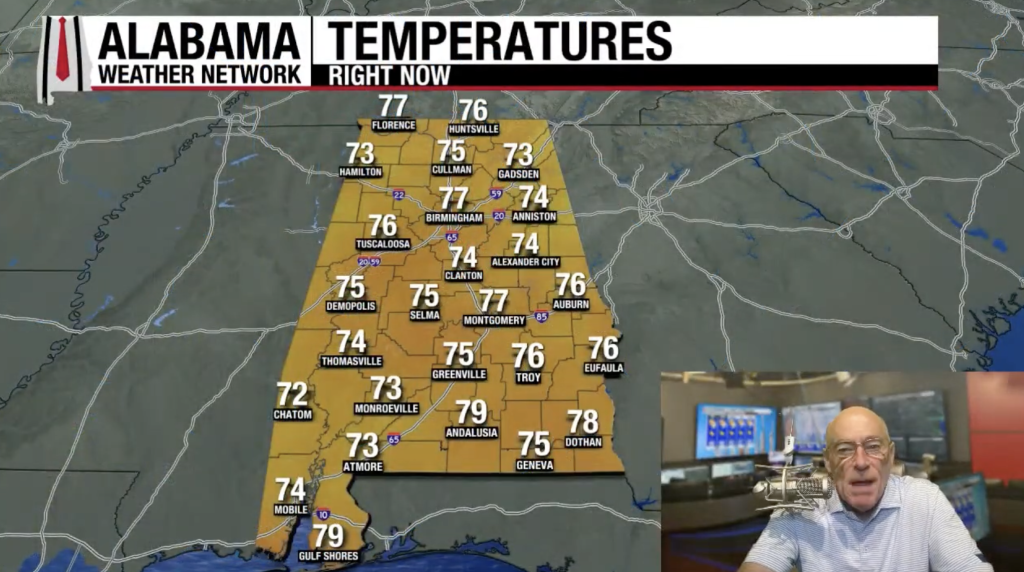
Summer temperatures have been soaring in the mid-90s across many areas, but good news is on the horizon for Alabama over the next five days. As often happens during the summer, we can expect some pop-up storms, mainly during the afternoons and evenings, from around noon to midnight. However, the chances for rain vary, currently sitting at about 30-40% today, and expected to decrease to 20-25% this weekend.
Looking ahead, upper ridges in the area will begin to weaken by next week, allowing for increased showers and thunderstorms. Interestingly, heat levels are expected to drop too, with highs projected to be in the late ’80s on Friday and continuing into the weekend (August 22-24). Be sure to check out our weather maps and video briefings for more details.
Tropical Weather
Erin is set to strengthen into a hurricane in the Atlantic shortly. Early this morning, it was clocking in at 70 mph, positioned roughly 570 miles north of the northern Leeward Islands, moving west/northwest at 17 mph.
The forecast for Erin hasn’t shifted. It will pass north of the Leeward Islands and Puerto Rico before heading northward towards the east of the Bahamas. Next week, the storm is expected to pick up speed and head northeast over the open Atlantic. Fortunately, there’s no immediate threat to the U.S., although it may approach Bermuda in about 5-6 days.
There’s also another area of interest to monitor. Recent satellite observations suggest that disturbances in the western Gulf Coast (designated as invest 98L) currently lack a defined low-level circulation. That said, shower activity has picked up sporadically over the past few hours, and there’s a possibility we could see a short-lived tropical depression forming before it makes landfall in northeastern Mexico or southern Texas later today. Regardless of any development, areas in northeastern Mexico and southern Texas could face heavy rainfall in the coming days, so it’s worth keeping an eye on this situation. Another investigation by an Air Force Reserve Hurricane Hunter Aircraft is planned for later this morning.
Fortunately, no tropical storms or hurricanes are anticipated along the Gulf Coast for at least the next week.
Historical Weather Events
On this date in 1787, tornadoes were reported across Connecticut, Rhode Island, Massachusetts, and New Hampshire, with Weathersfield, Connecticut, suffering considerable devastation. A woman and her son tragically lost their lives during this tornado outbreak, and their family’s clothing was found three miles away. This event is notably recognized as one of the most significant tornado outbreaks in early New England history.
Fast forward to 1969, Hurricane Camille was intensifying on the Gulf Coast, prompting the National Hurricane Center to issue a Hurricane Watch for 110 miles of Florida coastline. Eventually, this watch was extended westward, leading to a landfall in Mississippi on August 17th, classified as a Category 5 hurricane.


