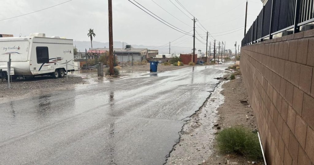
A Pacific storm is expected to bring showers to Lake Havasu City starting late Saturday night, with rain chances expected to continue into Tuesday and possibly Wednesday.
Rain fell across the Southwest, including parts of California, Nevada and Arizona, as the storm moved east. Winter storm warnings are in effect for higher elevations and flood watches are in place for southeastern California.
Matt Woods with the National Weather Service said 0.08 inches of rain was recorded at Lake Havasu City Airport from Saturday night into early Sunday morning.
As the rain continues, waves of precipitation Monday and Tuesday could bring up to an inch of rain. As of 4 p.m. Monday, just over 0.25 inches of rain had been recorded at the airport.
No heavy rain is expected on Tuesday, and Woods said the risk of flooding remains low in most areas. Temperatures are expected to stay in the low 60s for several days, warming into the mid to upper 60s by the end of the week.
Woods said if this system passes, clouds will remain over the area, making it unlikely to rain again Wednesday or Thursday morning. Expect it to dry after that.
Low temperatures this week are expected to be in the 50s, with calm winds expected. Early reports on the weekend's weather indicate the weekend could be warm again with temperatures in the low 70s.