Wet-Dry Mapping of the San Pedro River in Arizona
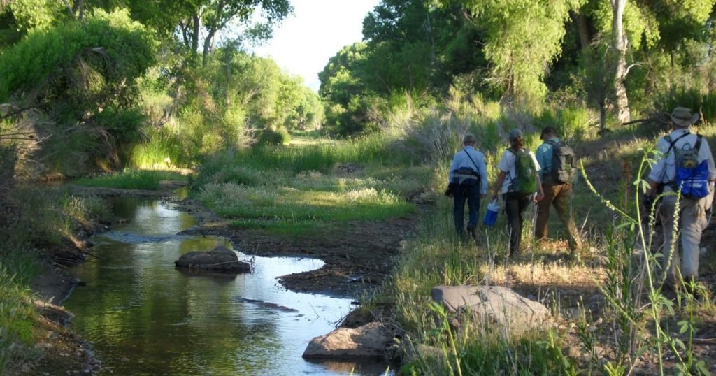
Every year since 1999, The Nature Conservancy has performed wet and dry mapping of the entire 273 miles of the San Pedro River.This is done in 3rd Saturday, June, with the help of volunteers across the basin and local, industry, state and federal partners. Volunteers use GPS devices to record the start and end of […]
CBP Is Expanding Its Surveillance Tower Program at the U.S.-Mexico Border–And We’re Mapping It

To provide researchers with the tools they need to analyze the impact of U.S. border security policies, the EFF surveyed more than 290 watchtowers installed by Customs and Border Protection (CBP) along the border with Mexico. We are publishing new maps and datasets. Compiled using public records, satellite imagery, road trips, and even exploration in […]


