Subtropical Cyclone Karen Takes Formation
A newly formed non-tropical cyclone has been upgraded to subtropical cyclone status, now named Karen. This system showcases both tropical and non-tropical features, which classifies it as a subtropical storm.
Interestingly, while tropical systems gain strength from warmer ocean waters, non-tropical storms rely on atmospheric temperature and pressure differences. This results in a hybrid system that possesses characteristics of both.
Currently, Subtropical Cyclone Karen is generating thunderstorms near its core. Although it has some tropical traits, the system remains influenced by fronts, preventing it from being fully classified as tropical, according to the National Hurricane Center.
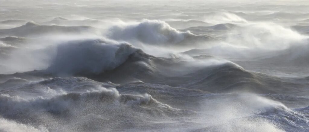
Karen boasts maximum sustained winds of 45 mph and is moving northeast across the North Atlantic at a speed of 9 mph. This area is somewhat unusual for tropical systems and is located far from regions typically known for such developments.
Meanwhile, further south, Tropical Storm Jerry appears disorganized around the Leeward Islands. Reports indicate that Jerry has sustained winds of 60 mph as per the National Hurricane Center.
In a broader context, the situation across the United States finds a powerful low-pressure system heading toward Alaska. This system, which originated from the remnants of Typhoon Halong, could potentially bring hurricane-force winds to Alaska. Following that, it may move toward the western U.S., leading to heavy rain and snowfall in those areas.
At its peak, Typhoon Halong was a Category 4 storm and has been noted for its significant impact as it approached Japan.
As we watch these developments, it’s worth noting that the Atlantic hurricane season comes to a close on November 30th, while the western North Pacific Basin could see typhoon formations throughout the year.