According to the Arizona Department of Forestry and Fire Management, everyone in the surrounding area should be “prepared” to evacuate at any time.
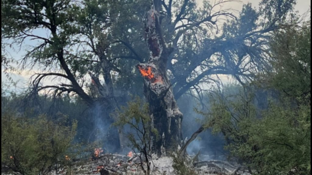
YAVAPAI COUNTY, Ariz. — Fire crews are currently battling the Farm Fire, which has been burning about 30 miles north of Congress since August 8th.
To get the latest updates on all the fires burning around Arizona, visit 12news.com/wildfires
A complete evacuation list, shelter information and the latest road closure information can be found below.
Latest fire information:
The Arizona Department of Forestry and Fire Management said the state is working closely with multiple fire departments to provide aerial and hand firefighting resources.
🔥 Arizona Department of Forestry responds #Farmfire The fire is estimated to be about 40 acres and growing, and the state is working closely with multiple fire departments to send in air and hand firefighters to help with the fire.
🟢 Yavapai Sheriff Residents on Iron Horse Road are currently being notified… pic.twitter.com/kCTJPZa6aR
—Arizona Department of Forestry and Fire Management (@azstateforestry) August 8, 2024
How many acres burned?
According to fire officials, the Farm Fire has burned between 120 and 150 acres and was 0% contained as of August 8th.
Is there an evacuation?
No communities are subject to “GO” orders.
There are no communities under the “SET” order.
The following areas are under a “prepare” order and people are asked to be aware of fire danger in their neighborhoods:
Go to Arizona Emergency Information Network website Learn how the READY, SET, GO evacuation system works.
What roads and highways were closed?
Authorities have not closed any roads because of the fire.
Are there shelters available for residents who may need to evacuate?
Authorities have not released information about evacuation shelters.